

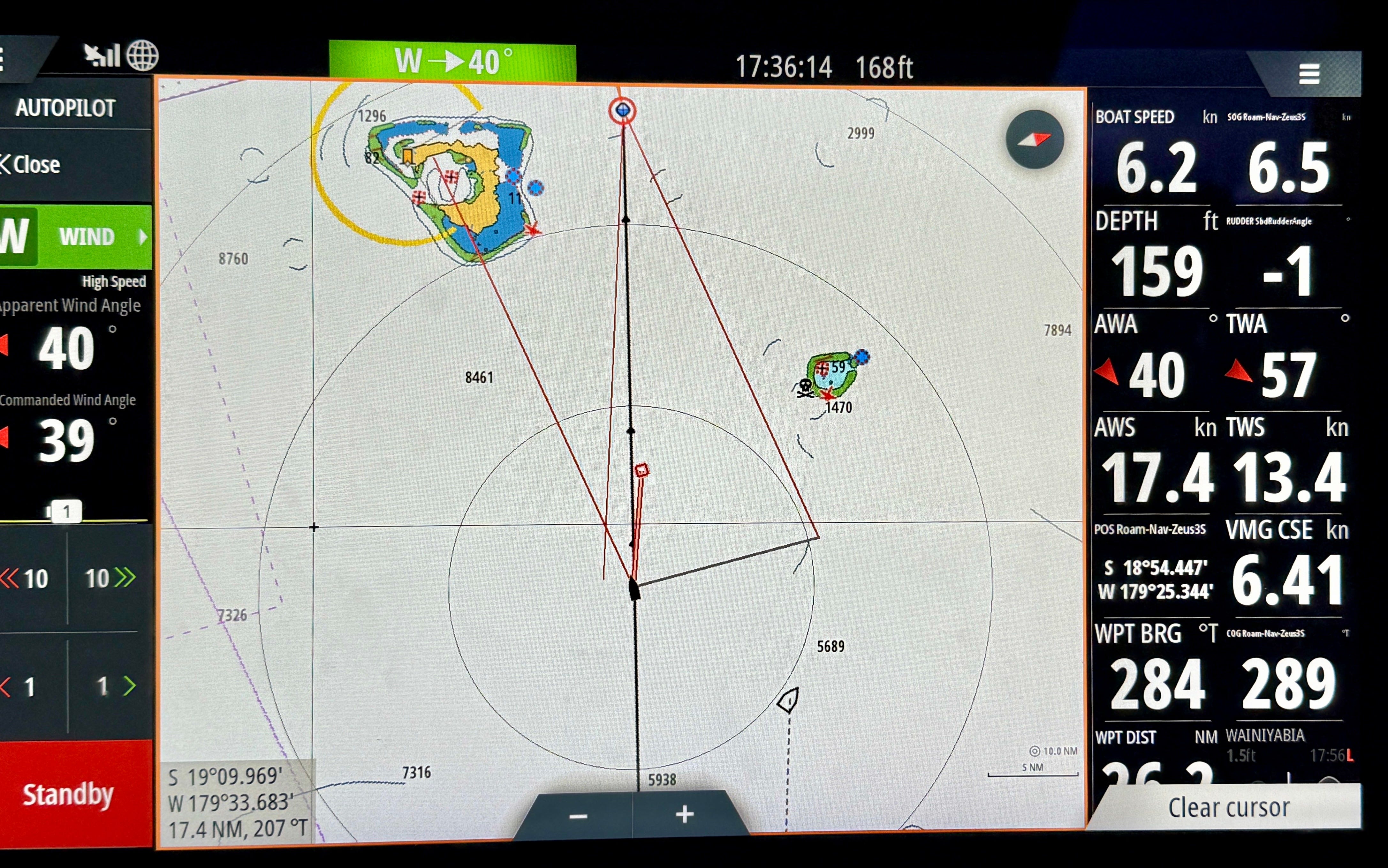
All is well we are presently beating under full main, solent, full daggers in 12-18 knots of breeze in slight seas.
Na Vatu reef is 15 miles to the north of us. This reef has claimed many boats, including one last year. The problem is that if you use Navionics charts and you zoom out too far on the chart, the reef disappears. And that causes sailors to run right into it.
We use a variety of cartography sources (including C-Map on our chart plotters) to avoid this fate. Also, we zoom in a lot.